
Skip to product information

In stock



Ordnance Survey Explorer OL11 Map Brighton & Hove
SKU: 0000000316101
Regular price
£12.99
Sale price
£9.99
Save £3.00 (23%)
Pickup available at Units 1 & 2 Springhill Industrial Estate Arley
Usually ready in 4 hours
Ordnance Survey Explorer OL11 Map Brighton & Hove, Lewes & Burgess Hill
This Ordnance Survey Explorer OL11 Map is ideal for walkers, climbers, horse riding, and off-road cycling with its detailed paper folded map. Whether you're exploring, Brighton & Hove, Lewes & Burgess Hill, you'll have all the information you need at your fingertips. Rights of way, fences, permissive paths and bridleways are clearly shown, ensuring you have the best information to get the most out of your time in the countryside. Perfect for outdoor enthusiasts.
This map now comes with a digital version which you can download to your smartphone or tablet.
The coast can be explored by foot taking in the scenery of Brighton, Hove, Portslade, Shoreham by Sea, Peacehaven, and Newhaven on the way. The countryside offers walkers the rolling Sussex Downs, pretty villages, and plenty of stunning scenery to admire, as well as parts of the South Downs Way. This map replaces the previous Explorer sheet 122 for this area.
Featuring:
- South Downs
- South Downs Way
- Sussex Border Path
- Vanguard Way
- Downs Link
- Monarch's Way (Book 3)
- South Downs Way (National Trail)
- East Sussex
- West Sussex
- Brighton and Hove
- Lewes
- Newhaven
- Shoreham-by-Sea
- 1:25 000 scale (4 cm to 1 km – 2.5 inches to 1 mile)
Questions & Answers
Have a Question?
Be the first to ask a question about this.
You may also like
Recently Viewed
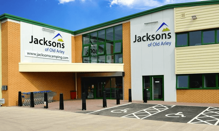
Camping & Caravanning Superstore
Whether you are camping, caravanning or hiking, the right tent, camping equipment, caravan awning, outdoor clothing or caravan accessories are a must when it comes to outdoor activities. Jacksons of Old Arley has a huge selection on offer. We stock most major brand items all at competitive prices and can also order most items if not available to buy instore or online.